
1400 topographic map
Interactive map
Click on the map to display elevation.
About this map
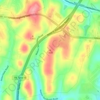
Name: 1400 topographic map, elevation, terrain.
Average elevation: 379 m
Minimum elevation: 328 m
Maximum elevation: 431 m
Other topographic maps
Click on a map to view its topography, its elevation and its terrain.
Maplewood Terrace
États-Unis d'Amérique > Pennsylvanie > Westmoreland County > Hempfield Township > Maplewood Terrace
Maplewood Terrace, Hempfield Township, Westmoreland County, Pennsylvanie, 15601, États-Unis d'Amérique
Average elevation: 346 m