
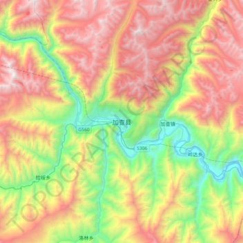
加查县 topographic map
Interactive map
Click on the map to display elevation.
About this map
Name: 加查县 topographic map, elevation, terrain.
Location: 加查县, 安绕镇, 加查县, 山南市, 西藏自治区, 中国 (28.98406 92.43453 29.30406 92.75453)
Average elevation: 4,283 m
Minimum elevation: 3,128 m
Maximum elevation: 5,687 m