
Mindon Township topographic map
Interactive map
Click on the map to display elevation.
About this map
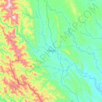
Name: Mindon Township topographic map, elevation, terrain.
Location: Mindon Township, Thayet District, Magway, Myanmar (19.05217 94.34397 19.63467 94.97608)
Average elevation: 335 m
Minimum elevation: 29 m
Maximum elevation: 1,508 m