
Gemeinde Navis topographic map
Interactive map
Click on the map to display elevation.
About this map
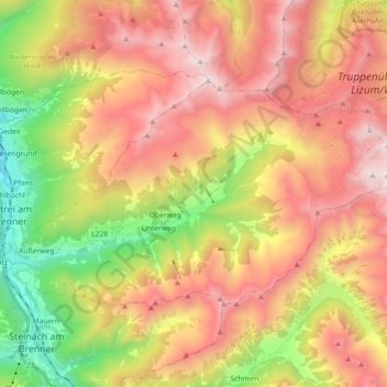
Name: Gemeinde Navis topographic map, elevation, terrain.
Location: Gemeinde Navis, Bezirk Innsbruck-Land, Tyrol, 6145, Austria (47.10171 11.45161 47.17417 11.63271)
Average elevation: 1,898 m
Minimum elevation: 891 m
Maximum elevation: 2,844 m