
Marble Falls topographic map
Interactive map
Click on the map to display elevation.
About this map
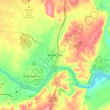
Name: Marble Falls topographic map, elevation, terrain.
Location: Marble Falls, Burnet County, Texas, 76654, United States (30.53775 -98.31565 30.61775 -98.23565)
Average elevation: 261 m
Minimum elevation: 203 m
Maximum elevation: 319 m