
西興部村 topographic map
Interactive map
Click on the map to display elevation.
About this map
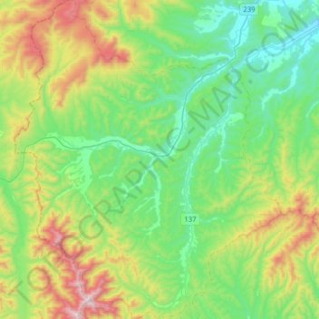
Name: 西興部村 topographic map, elevation, terrain.
Location: 西興部村, 紋別郡, オホーツク総合振興局, Präfektur Hokkaido, 098-1501, Japan (44.21534 142.80212 44.43902 143.06385)
Average elevation: 334 m
Minimum elevation: 16 m
Maximum elevation: 1,112 m