
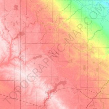
Lincoln County topographic map
Interactive map
Click on the map to display elevation.
About this map
Name: Lincoln County topographic map, elevation, terrain.
Location: Lincoln County, Minnesota, United States (44.19840 -96.45279 44.63135 -96.07466)
Average elevation: 510 m
Minimum elevation: 340 m
Maximum elevation: 609 m
Other topographic maps
Click on a map to view its topography, its elevation and its terrain.
Ivanhoe
United States > Minnesota > Lincoln County
Ivanhoe, Lincoln County, Minnesota, 56142, United States
Average elevation: 509 m