
Karapınar topographic map
Interactive map
Click on the map to display elevation.
About this map
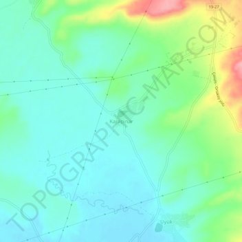
Name: Karapınar topographic map, elevation, terrain.
Average elevation: 737 m
Minimum elevation: 706 m
Maximum elevation: 826 m
Other topographic maps
Click on a map to view its topography, its elevation and its terrain.
Karaca
Turquie > Çorum Merkez > Karaca
Karaca, Çorum Merkez, Çorum, Région de la mer Noire, Turquie
Average elevation: 757 m