
Senha topographic map
Interactive map
Click on the map to display elevation.
About this map
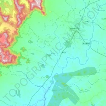
Name: Senha topographic map, elevation, terrain.
Location: Senha, Lohardaga, Jharkhand, India (23.30661 84.52723 23.46010 84.75935)
Average elevation: 687 m
Minimum elevation: 602 m
Maximum elevation: 1,062 m