
Nadergul topographic map
Interactive map
Click on the map to display elevation.
About this map
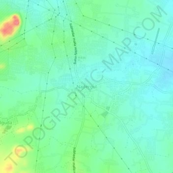
Name: Nadergul topographic map, elevation, terrain.
Location: Nadergul, Balapur mandal, Rangareddy, Telangana, 500021, India (17.25464 78.51995 17.29464 78.55995)
Average elevation: 550 m
Minimum elevation: 529 m
Maximum elevation: 614 m
Other topographic maps
Click on a map to view its topography, its elevation and its terrain.
Balapur
India > Telangana > Balapur mandal
Balapur, Balapur mandal, Ranga Reddy District, Telangana, 500036, India
Average elevation: 539 m