
Ban Khlong Kamlang topographic map
Interactive map
Click on the map to display elevation.
About this map
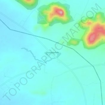
Name: Ban Khlong Kamlang topographic map, elevation, terrain.
Location: Ban Khlong Kamlang, Nakhon Sawan Province, Thailand (15.86226 100.75878 15.90226 100.79878)
Average elevation: 121 m
Minimum elevation: 89 m
Maximum elevation: 296 m