
Yaramale topographic map
Interactive map
Click on the map to display elevation.
About this map
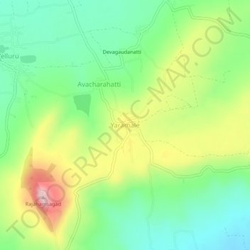
Name: Yaramale topographic map, elevation, terrain.
Location: Yaramale, Belagavi taluku, Belgaum district, Karnataka, India (15.74881 74.52005 15.78881 74.56005)
Average elevation: 812 m
Minimum elevation: 701 m
Maximum elevation: 998 m