
Ndu topographic map
Interactive map
Click on the map to display elevation.
About this map
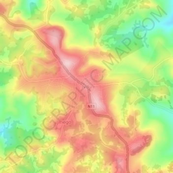
Name: Ndu topographic map, elevation, terrain.
Location: Ndu, Donga-Mantung, Nord-Ouest, Cameroun (6.40485 10.77407 6.44485 10.81407)
Average elevation: 1,983 m
Minimum elevation: 1,846 m
Maximum elevation: 2,099 m