
Manda topographic map
Interactive map
Click on the map to display elevation.
About this map
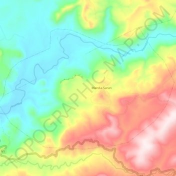
Name: Manda topographic map, elevation, terrain.
Location: Manda, Lelouma Prefecture, Labé, Guinea (11.64022 -12.67880 11.71086 -12.57487)
Average elevation: 413 m
Minimum elevation: 174 m
Maximum elevation: 786 m