
Aastha Kunj Park topographic map
Interactive map
Click on the map to display elevation.
About this map
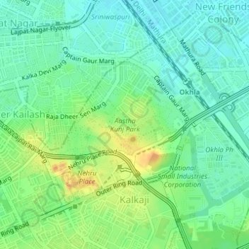
Name: Aastha Kunj Park topographic map, elevation, terrain.
Average elevation: 224 m
Minimum elevation: 209 m
Maximum elevation: 246 m
Other topographic maps
Click on a map to view its topography, its elevation and its terrain.
Kalkaji
India > Delhi > Kalkaji Tehsil
Kalkaji, Kalkaji Tehsil, South East Delhi District, Delhi, 110019, India
Average elevation: 230 m
park
India > Delhi > Kalkaji Tehsil
park, Govindpuri, Kalkaji Tehsil, South East Delhi, Delhi, India
Average elevation: 222 m