
Thank you for supporting this site ❤️
Make a donation
Make a donation
Gear up for your next adventure:
As an Amazon Associate, this site earns from qualifying purchases at no extra cost to you.
Burhaniye topographic map
Click on the map to display elevation.
Thank you for supporting this site ❤️
Make a donation
Make a donation
Gear up for your next adventure:
As an Amazon Associate, this site earns from qualifying purchases at no extra cost to you.
About this map
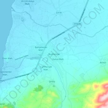
Name: Burhaniye topographic map, elevation, terrain.
Location: Burhaniye, Balıkesir, Marmara Region, 10700, Turkey (39.46306 26.94078 39.54306 27.02078)
Average elevation: 36 m
Minimum elevation: -1 m
Maximum elevation: 366 m
Thank you for supporting this site ❤️
Make a donation
Make a donation
Gear up for your next adventure:
As an Amazon Associate, this site earns from qualifying purchases at no extra cost to you.