
Xerta topographic map
Interactive map
Click on the map to display elevation.
About this map
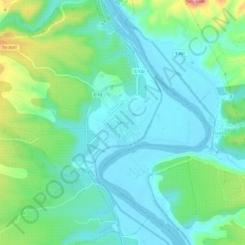
Name: Xerta topographic map, elevation, terrain.
Location: Xerta, Baix Ebre, Tarragona, Katalonien, 43592, Spanien (40.88801 0.47110 40.92801 0.51110)
Average elevation: 53 m
Minimum elevation: 5 m
Maximum elevation: 204 m