
Leipers Fork topographic map
Interactive map
Click on the map to display elevation.
About this map
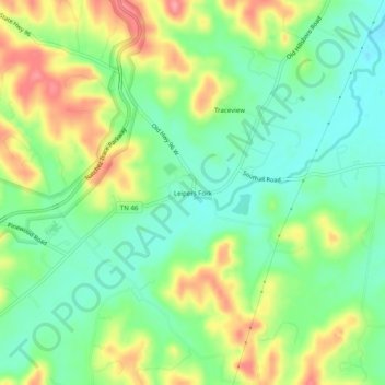
Name: Leipers Fork topographic map, elevation, terrain.
Location: Leipers Fork, Williamson County, Tennessee, United States (35.87562 -87.01778 35.91562 -86.97778)
Average elevation: 224 m
Minimum elevation: 188 m
Maximum elevation: 279 m