
Glasgow topographic map
Interactive map
Click on the map to display elevation.
About this map
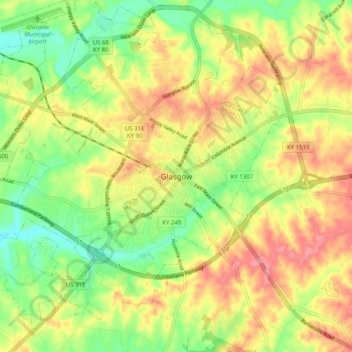
Name: Glasgow topographic map, elevation, terrain.
Location: Glasgow, Barren County, Kentucky, 42142, United States (36.95591 -85.95248 37.03591 -85.87248)
Average elevation: 230 m
Minimum elevation: 183 m
Maximum elevation: 277 m