
Niederdonven topographic map
Interactive map
Click on the map to display elevation.
About this map
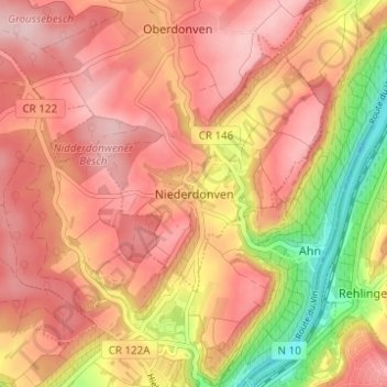
Name: Niederdonven topographic map, elevation, terrain.
Location: Niederdonven, Flaxweiler, Canton Grevenmacher, 5433, Luxembourg (49.61346 6.38258 49.65346 6.42258)
Average elevation: 252 m
Minimum elevation: 125 m
Maximum elevation: 321 m