
Ban Chang Talut topographic map
Interactive map
Click on the map to display elevation.
About this map
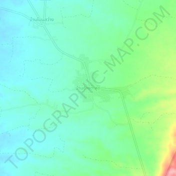
Name: Ban Chang Talut topographic map, elevation, terrain.
Location: Ban Chang Talut, Phetchabun Province, Thailand (16.55494 101.28813 16.59494 101.32813)
Average elevation: 196 m
Minimum elevation: 164 m
Maximum elevation: 293 m