
El Tejar topographic map
Interactive map
Click on the map to display elevation.
About this map
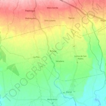
Name: El Tejar topographic map, elevation, terrain.
Location: El Tejar, Distrito Alanje, Chiriquí, Panama (8.41022 -82.62516 8.46197 -82.52544)
Average elevation: 71 m
Minimum elevation: 7 m
Maximum elevation: 154 m