
Fair Haven topographic map
Interactive map
Click on the map to display elevation.
About this map
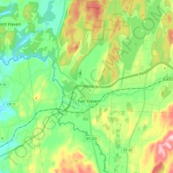
Name: Fair Haven topographic map, elevation, terrain.
Location: Fair Haven, Rutland County, Vermont, United States (43.54169 -73.30319 43.66890 -73.23856)
Average elevation: 138 m
Minimum elevation: 29 m
Maximum elevation: 359 m