
Thank you for supporting this site ❤️
Make a donation
Make a donation
Gear up for your next adventure:
As an Amazon Associate, this site earns from qualifying purchases at no extra cost to you.
Bagus topographic map
Click on the map to display elevation.
Thank you for supporting this site ❤️
Make a donation
Make a donation
Gear up for your next adventure:
As an Amazon Associate, this site earns from qualifying purchases at no extra cost to you.
About this map
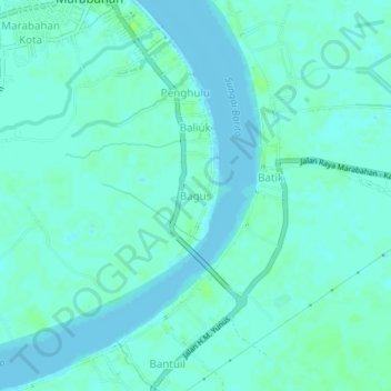
Name: Bagus topographic map, elevation, terrain.
Location: Bagus, Barito Kuala, South Kalimantan, Kalimantan, Indonesia (-3.02069 114.75790 -2.98069 114.79790)
Average elevation: 3 m
Minimum elevation: -1 m
Maximum elevation: 8 m
Thank you for supporting this site ❤️
Make a donation
Make a donation
Gear up for your next adventure:
As an Amazon Associate, this site earns from qualifying purchases at no extra cost to you.
Other topographic maps
Click on a map to view its topography, its elevation and its terrain.
Sungai Banyiur Utara
Indonesia > South Kalimantan > Barito Kuala > Pulau Sewangi
Average elevation: 3 m