
Kharal topographic map
Interactive map
Click on the map to display elevation.
About this map
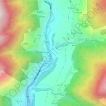
Name: Kharal topographic map, elevation, terrain.
Location: Kharal, Kalath, Manali, Kullu, Himachal Pradesh, 175143, India (32.17214 77.17118 32.21214 77.21118)
Average elevation: 2,066 m
Minimum elevation: 1,617 m
Maximum elevation: 2,868 m