
Teghenik topographic map
Interactive map
Click on the map to display elevation.
About this map
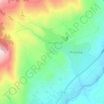
Name: Teghenik topographic map, elevation, terrain.
Location: Teghenik, Hrazdan region, Kotayk Province, Armenia (40.41470 44.56987 40.42802 44.59104)
Average elevation: 1,589 m
Minimum elevation: 1,433 m
Maximum elevation: 1,882 m