Geolocate

Smiley topographic map

Click on the map to display elevation.

About this map

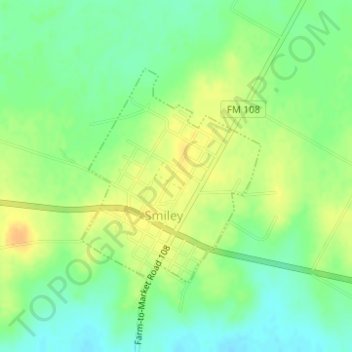
Name: Smiley topographic map, elevation, terrain.

Location: Smiley, Gonzales County, Texas, United States (29.26369 -97.64423 29.28018 -97.62841)

Average elevation: 90 m

Minimum elevation: 75 m

Maximum elevation: 104 m

Gear up for your next adventure:

🥾Hiking Boot Waterproofing Wax - Maintain the lifespan of your leather trekking boots
🦟Anti-Midge & Tick Repellent - Vital for hiking in the Scottish Highlands during summer
🎒Hiking Daypacks (20L) - Compact backpacks for day trips and technical mountain ascents
🛌Sleeping Mats - Insulated mats for comfortable outdoor sleeping
🗺️Ordnance Survey Maps - Essential paper maps for hiking across the UK national parks

As an Amazon Associate, this site earns from qualifying purchases at no extra cost to you.