
Thank you for supporting this site ❤️
Make a donation
Make a donation
Gear up for your next adventure:
As an Amazon Associate, this site earns from qualifying purchases at no extra cost to you.
Benifallet topographic map
Click on the map to display elevation.
Thank you for supporting this site ❤️
Make a donation
Make a donation
Gear up for your next adventure:
As an Amazon Associate, this site earns from qualifying purchases at no extra cost to you.
About this map
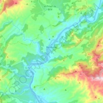
Name: Benifallet topographic map, elevation, terrain.
Location: Benifallet, Baix Ebre, Tarragona, Catalonia, 43512, Spain (40.92441 0.44467 41.01453 0.59306)
Average elevation: 230 m
Minimum elevation: 3 m
Maximum elevation: 911 m
Thank you for supporting this site ❤️
Make a donation
Make a donation
Gear up for your next adventure:
As an Amazon Associate, this site earns from qualifying purchases at no extra cost to you.