
Арыс topographic map
Interactive map
Click on the map to display elevation.
About this map
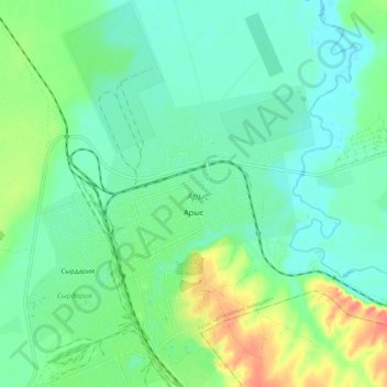
Name: Арыс topographic map, elevation, terrain.
Location: Арыс, Арысь Г.А., Turquestão, Cazaquistão (42.39632 68.77131 42.47626 68.84757)
Average elevation: 240 m
Minimum elevation: 223 m
Maximum elevation: 282 m