
Castle Rock topographic map
Interactive map
Click on the map to display elevation.
About this map
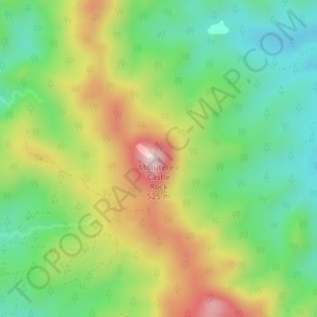
Name: Castle Rock topographic map, elevation, terrain.
Average elevation: 217 m
Minimum elevation: 52 m
Maximum elevation: 467 m
Other topographic maps
Click on a map to view its topography, its elevation and its terrain.
Tairua
Neuseeland > Waikato > Thames-Coromandel District
Tairua, Thames-Coromandel District, Waikato, 3579, Neuseeland
Average elevation: 222 m