Geolocate

Linacre topographic map

Click on the map to display elevation.

About this map

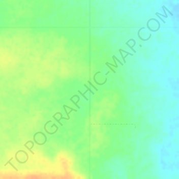
Name: Linacre topographic map, elevation, terrain.

Location: Linacre, Fox Valley No. 171, Saskatchewan, Canada (50.46548 -109.63546 50.48548 -109.61546)

Average elevation: 735 m

Minimum elevation: 721 m

Maximum elevation: 753 m

Gear up for your next adventure:

🍲Portable Camping Stoves - Fast-boiling stoves for hot meals on remote topographic survey trips
🛰️Outdoor GPS Navigation - Navigation devices for remote and off-grid areas
🛌Sleeping Bags - Warm and packable sleeping bags for outdoor nights
🧥Softshell Jackets - Breathable jackets for active outdoor use
🛌Sleeping Mats - Insulated mats for comfortable outdoor sleeping

As an Amazon Associate, this site earns from qualifying purchases at no extra cost to you.