
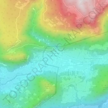
Srednja vas v Bohinju topographic map
Interactive map
Click on the map to display elevation.
About this map
Name: Srednja vas v Bohinju topographic map, elevation, terrain.
Location: Srednja vas v Bohinju, Bohinj, 4267, Slovenia (46.27689 13.90353 46.31689 13.94353)
Average elevation: 826 m
Minimum elevation: 502 m
Maximum elevation: 1,439 m