
La Floresta topographic map
Interactive map
Click on the map to display elevation.
About this map
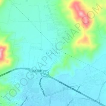
Name: La Floresta topographic map, elevation, terrain.
Location: La Floresta, Manzanillo, Colima, 28863, Mexico (19.12621 -104.35783 19.16621 -104.31783)
Average elevation: 65 m
Minimum elevation: 13 m
Maximum elevation: 268 m