
Bras Sec topographic map
Interactive map
Click on the map to display elevation.
About this map
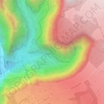
Name: Bras Sec topographic map, elevation, terrain.
Location: Bras Sec, Le Tampon, Saint-Pierre, Réunion, 97430, Frankrijk (-21.18503 55.53029 -21.17806 55.55678)
Average elevation: 1,226 m
Minimum elevation: 598 m
Maximum elevation: 1,680 m
Other topographic maps
Click on a map to view its topography, its elevation and its terrain.