Geolocate

Hecho topographic map

Click on the map to display elevation.

About this map

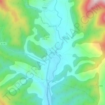
Name: Hecho topographic map, elevation, terrain.

Location: Hecho, Valle de Hecho, Jacetania, Huesca, Aragon, 22720, Spain (42.71839 -0.77032 42.75839 -0.73032)

Average elevation: 967 m

Minimum elevation: 784 m

Maximum elevation: 1,443 m

Gear up for your next adventure:

🧤Thermal Touchscreen Gloves - Stay warm while operating your GPS or smartphone camera
🚲Cycling GPS Computers - Track elevation and topographic routes on two wheels
🧥Breathable Waterproof Jackets - Essential rain protection for the unpredictable British climate
🛌Sleeping Bags - Warm and packable sleeping bags for outdoor nights
👟Women's Trail Running Shoes - Agile footwear for fell running and technical trails

As an Amazon Associate, this site earns from qualifying purchases at no extra cost to you.