
Anara topographic map
Interactive map
Click on the map to display elevation.
About this map
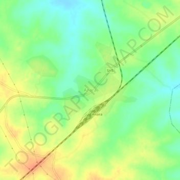
Name: Anara topographic map, elevation, terrain.
Location: Anara, Para, Puruliya, West-Bengalen, 723126, India (23.46613 86.53884 23.50613 86.57884)
Average elevation: 208 m
Minimum elevation: 188 m
Maximum elevation: 231 m