
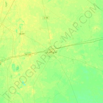
Tando Allahyar topographic map
Interactive map
Click on the map to display elevation.
About this map
Name: Tando Allahyar topographic map, elevation, terrain.
Location: Tando Allahyar, Hyderābād District, Sindh, Pakistan (25.30199 68.55983 25.62199 68.87983)
Average elevation: 21 m
Minimum elevation: 12 m
Maximum elevation: 28 m