
Strawn topographic map
Interactive map
Click on the map to display elevation.
About this map
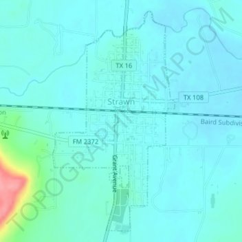
Name: Strawn topographic map, elevation, terrain.
Location: Strawn, Palo Pinto County, Texas, Estados Unidos da América (32.53761 -98.50673 32.56210 -98.49104)
Average elevation: 312 m
Minimum elevation: 299 m
Maximum elevation: 390 m