
Sørvágur topographic map
Interactive map
Click on the map to display elevation.
About this map
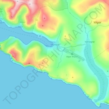
Name: Sørvágur topographic map, elevation, terrain.
Location: Sørvágur, Vágar region, 380, Faroe Islands (62.02344 -7.41364 62.10349 -7.22275)
Average elevation: 139 m
Minimum elevation: -3 m
Maximum elevation: 622 m