
Oberohe topographic map
Interactive map
Click on the map to display elevation.
About this map
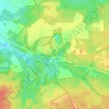
Name: Oberohe topographic map, elevation, terrain.
Location: Oberohe, Faßberg, Landkreis Celle, Niedersachsen, Deutschland (52.85285 10.20529 52.89285 10.24529)
Average elevation: 86 m
Minimum elevation: 66 m
Maximum elevation: 107 m