
Thank you for supporting this site ❤️
Make a donation
Make a donation
Gear up for your next adventure:
As an Amazon Associate, this site earns from qualifying purchases at no extra cost to you.
Sakhigopal topographic map
Click on the map to display elevation.
Thank you for supporting this site ❤️
Make a donation
Make a donation
Gear up for your next adventure:
As an Amazon Associate, this site earns from qualifying purchases at no extra cost to you.
About this map
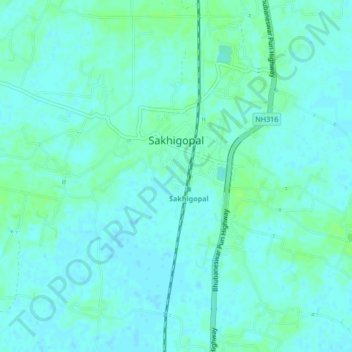
Name: Sakhigopal topographic map, elevation, terrain.
Location: Sakhigopal, Satyabadi, Puri, Odisha, India (19.93462 85.79151 19.95386 85.83363)
Average elevation: 8 m
Minimum elevation: 5 m
Maximum elevation: 14 m
Thank you for supporting this site ❤️
Make a donation
Make a donation
Gear up for your next adventure:
As an Amazon Associate, this site earns from qualifying purchases at no extra cost to you.