
William Whitley State Historic House topographic map
Interactive map
Click on the map to display elevation.
About this map
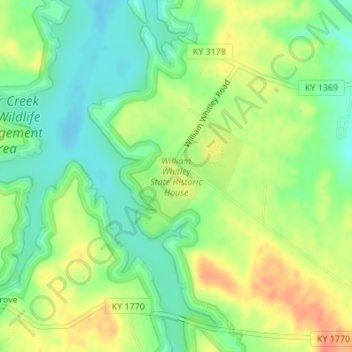
Name: William Whitley State Historic House topographic map, elevation, terrain.
Average elevation: 284 m
Minimum elevation: 263 m
Maximum elevation: 310 m