
Gihango topographic map
Interactive map
Click on the map to display elevation.
About this map
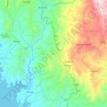
Name: Gihango topographic map, elevation, terrain.
Location: Gihango, Rutsiro, Western Province, Rwanda (-2.01103 29.34326 -1.90888 29.42870)
Average elevation: 1,884 m
Minimum elevation: 1,453 m
Maximum elevation: 2,763 m