
Estoul topographic map
Interactive map
Click on the map to display elevation.
About this map
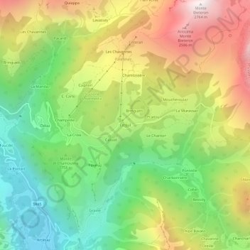
Name: Estoul topographic map, elevation, terrain.
Location: Estoul, Brusson, Valle d'Aosta, 11022, Italia (45.73799 7.74505 45.77799 7.78505)
Average elevation: 1,830 m
Minimum elevation: 1,130 m
Maximum elevation: 2,758 m