
Isla Otoque topographic map
Interactive map
Click on the map to display elevation.
About this map
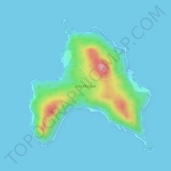
Name: Isla Otoque topographic map, elevation, terrain.
Location: Isla Otoque, Distrito Taboga, Panamá (8.59140 -79.61176 8.61258 -79.59180)
Average elevation: 19 m
Minimum elevation: -4 m
Maximum elevation: 168 m