
Penne topographic map
Interactive map
Click on the map to display elevation.
About this map
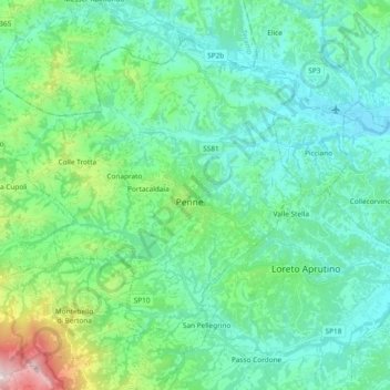
Name: Penne topographic map, elevation, terrain.
Location: Penne, PE, Abruzzen, 65017, Italië (42.40487 13.79347 42.51628 13.98070)
Average elevation: 289 m
Minimum elevation: 59 m
Maximum elevation: 1,253 m