
Westwood topographic map
Interactive map
Click on the map to display elevation.
About this map
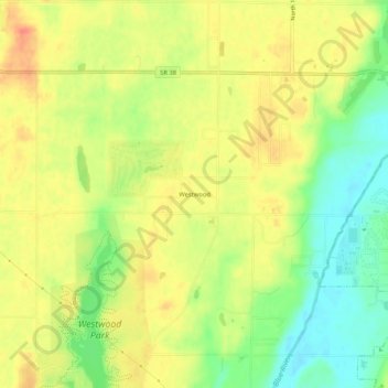
Name: Westwood topographic map, elevation, terrain.
Location: Westwood, Henry County, Indiana, 47362, United States (39.89921 -85.43692 39.93921 -85.39692)
Average elevation: 319 m
Minimum elevation: 291 m
Maximum elevation: 341 m
Other topographic maps
Click on a map to view its topography, its elevation and its terrain.