
Forna topographic map
Interactive map
Click on the map to display elevation.
About this map
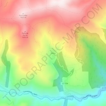
Name: Forna topographic map, elevation, terrain.
Location: Forna, Encinedo, León, Castilië en León, 24746, Spanje (42.25929 -6.65178 42.29929 -6.61178)
Average elevation: 1,291 m
Minimum elevation: 935 m
Maximum elevation: 1,635 m