
Grimselpass topographic map
Interactive map
Click on the map to display elevation.
About this map
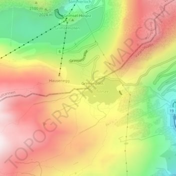
Name: Grimselpass topographic map, elevation, terrain.
Location: Grimselpass, Obergoms, Goms, Wallis, 3999, Schweiz (46.56113 8.33663 46.56123 8.33673)
Average elevation: 2,154 m
Minimum elevation: 1,650 m
Maximum elevation: 2,596 m
Blick von der Kantonsgrenze auf Passhöhe und Totesee gegen Osten.
Other topographic maps
Click on a map to view its topography, its elevation and its terrain.