
Make a donation
Gear up for your next adventure:
As an Amazon Associate, this site earns from qualifying purchases at no extra cost to you.
Het Bossche Broek topographic map
Click on the map to display elevation.
Make a donation
Gear up for your next adventure:
As an Amazon Associate, this site earns from qualifying purchases at no extra cost to you.
About this map
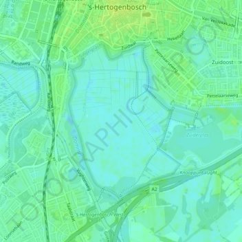
Name: Het Bossche Broek topographic map, elevation, terrain.
Average elevation: 6 m
Minimum elevation: -1 m
Maximum elevation: 13 m
Make a donation
Gear up for your next adventure:
As an Amazon Associate, this site earns from qualifying purchases at no extra cost to you.
Other topographic maps
Click on a map to view its topography, its elevation and its terrain.
's-Hertogenbosch
Nederland > Noord-Brabant > 's-Hertogenbosch
In figuurlijke zin is de stad een rooms-katholiek bolwerk, waarvan ook vandaag de dag nog alle kenmerken in de kunst en de kerken terug te vinden zijn. De Sint-Janskathedraal, het hoogtepunt van de late Brabantse gotiek is een van de meest karakteristieke gebouwen van de stad. Het is een kerkgebouw met de…
Average elevation: 7 m